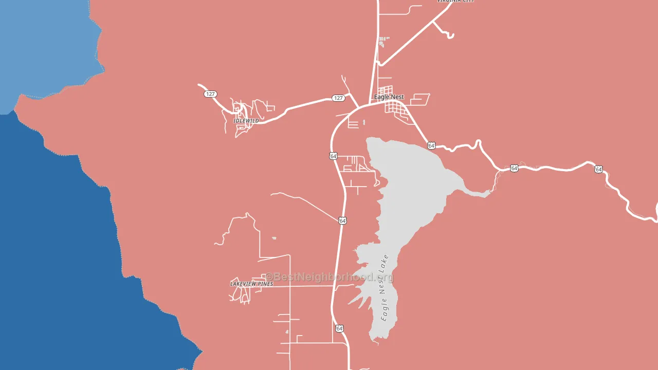
Eagle Nest leans slightly Republican by roughly 10 points: about 45% of voters vote Democratic and 55% Republican.
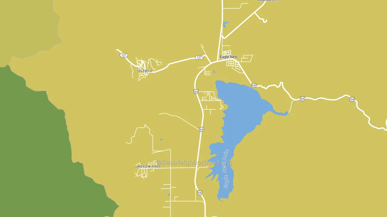
About 55% of adults in Eagle Nest typically vote, below the U.S. average of about 62%. Among adults in Eagle Nest, ~25% vote Democratic, ~30% Republican, and ~45% don't vote. The map below shows estimated turnout by block group.
How Eagle Nest compares
Among cities within 25 miles, Eagle Nest leans more Republican than 21 of 23 neighbors.
Eagle Nest runs about 16 points more Republican than New Mexico as a whole. New Mexico leans Democratic overall, while Eagle Nest is one of the few Republican-leaning pockets.
Why Eagle Nest leans the way it does
This analysis examined 14,881 data points per city to find what predicts political lean and turnout. The items below are a few correlations that stood out for Eagle Nest, not a ranked or complete list of what matters most.
Rural areas vote Republican. About 1% of residents in Eagle Nest live in densely developed areas, about 17 points below the New Mexico average of 18%. A high family-household share predicts Republican voting, and about 78% of households in Eagle Nest are family households, above 85% of cities. Eagle Nest runs against the grain of New Mexico, a Republican-leaning pocket in a Democratic-leaning state.
Paved land cover and Republican lean
Places with little paved surface tend to lean Republican; Eagle Nest, NM sits in the bottom tenth nationally on this measure. Paved ground does not change how people vote; it mostly reflects how urban and built-up a place is.
Why turnout in Eagle Nest looks the way it does
Areas with limited routine healthcare access turn out at lower rates. Eagle Nest is in the bottom quarter nationally for routine-care measures such as insurance coverage, preventive screenings, and dental visits. Renters vote less often than owners, and about 37% of households in Eagle Nest rent, above 92% of cities. Low high-school completion lines up with lower turnout, and about 99% of adults in Eagle Nest have completed high school, above 97% of cities. Learn more about the findings and methodology on the political spectrum map.
Nearby Cities
- Taos Ski Valley, NM D+37
- Angel Fire, NM R+8
- Valle Escondido, NM D+48
- Red River, NM D+16
- Idlewild, NM R+9
- Lake View Pines, NM R+9
- Taos Pueblo, NM D+70
- Arroyo Seco, NM D+58
Cities with Similar Populations
- Red Mills, NY R+35
- Pilger, NE R+68
- Tupelo, OK R+73
- Dunlap, CA R+45
- Silver Creek, MO R+53
- Rose, ID R+66
- Winstead Crossroads, NC R+35
- Scammon, KS R+53
- Caddo Gap, AR R+74
- Longwood, WI R+51
Sources and methodology
Precinct-level voting records used to fit the model come from New Mexico Secretary of State, Bureau of Elections, distributed by the Voting and Election Science Team. Demographic inputs come from the U.S. Census Bureau (ACS 5-year estimates and the 2020 Decennial Census). Health and environmental inputs come from the CDC (PLACES and the Environmental Justice Index). Land cover comes from the USGS and EPA. Election-day and lead-up weather come from PRISM 4km daily grids and the NOAA Global Historical Climatology Network. Mail-voting and election-administration patterns come from the MIT Election Lab's Survey of the Performance of American Elections. Block-group crime detail comes from CrimeGrade. Internet data and modeling support provided by ISPreports.org.
Modeling and analysis by the BestNeighborhood data science team. Full methodology and findings: political spectrum map.
Methodology reviewed by the BestNeighborhood data team. Last updated May 2026.