
Bay Colony leans slightly Republican by roughly 14 points: about 43% of voters vote Democratic and 57% Republican.
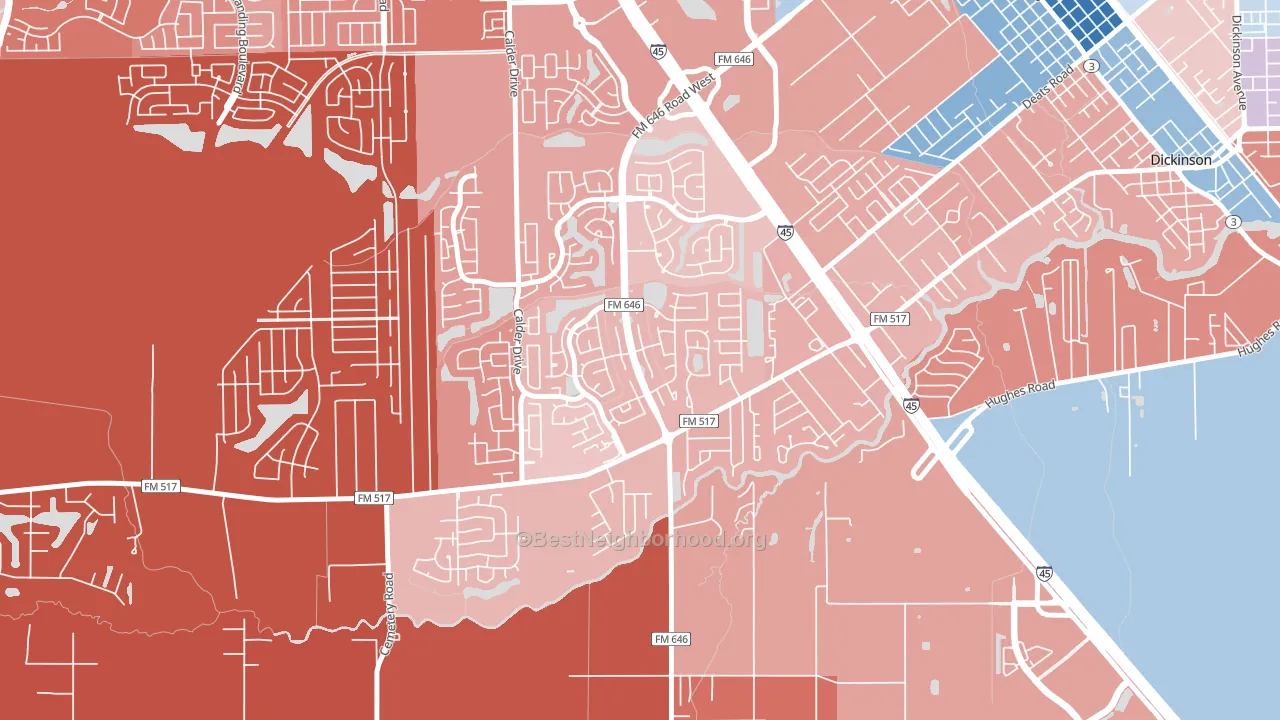
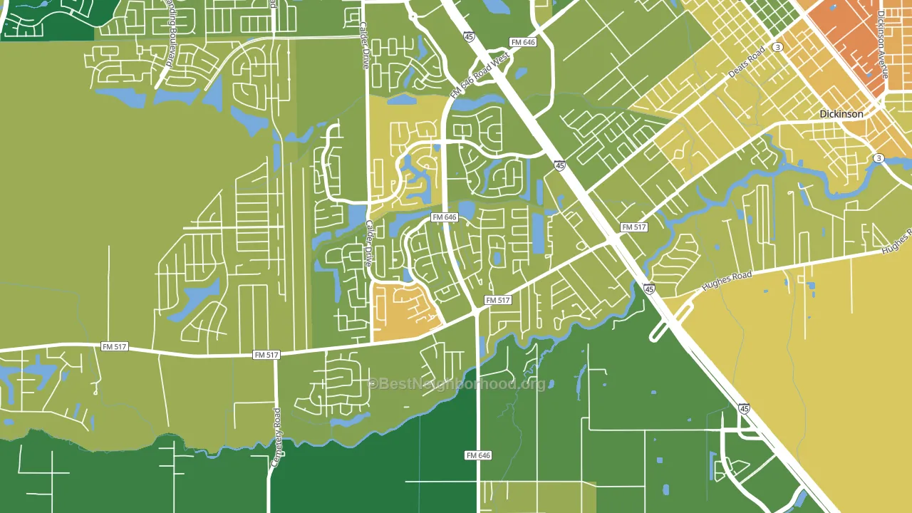
About 64% of adults in Bay Colony typically vote, near the U.S. average of about 62%. Among adults in Bay Colony, ~27% vote Democratic, ~37% Republican, and ~36% don't vote. The map below shows estimated turnout by block group.
How Bay Colony compares
Bay Colony sits in a sparsely populated area with few comparable neighborhoods nearby.
Politically, Bay Colony sits close to the rest of Texas.
Why Bay Colony leans the way it does
Density, race composition, education, and family structure all sit close to their national averages in Bay Colony. The lean here lands roughly where demographic data alone would predict.
Park access and Republican lean
Places with low park coverage tend to lean Republican; Bay Colony, League City, TX sits in the bottom quarter nationally on this measure. Park access does not change how people vote; it tends to track denser, higher-income areas.
Why turnout in Bay Colony looks the way it does
Turnout in Bay Colony sits close to the national pattern. Routine healthcare access, homeownership, education, and food security all land near their national averages here. Learn more about the findings and methodology on the political spectrum map.
Nearby Neighborhoods
- Painted Meadows, Santa Fe, TX R+29
- Tuscan Lakes, League City, TX R+19
- South Shore Harbour and Marina, League City, TX R+20
- Clear Lake, Houston, TX R+8
- Mainland Park, Texas City, TX R+20
- Southbelt Ellington, Houston, TX D+3
- Pasadina, Houston, TX D+4
- South Houston Gardens, Pasadena, TX R+20
- Spencer View Terrace, Deer Park, TX R+22
- Downtown La Porte, La Porte, TX R+25
Neighborhoods with Similar Populations
- Old North Dayton, Dayton, OH D+3
- Northpoint, Milwaukee, WI D+57
- Crawford, Ames, IA D+26
- Powning Addition, Reno, NV D+36
- Firestone-Garden Park, Charlotte, NC D+78
- Sun Groves, Chandler, AZ R+8
- Rocky Ridge, Aurora, CO D+32
- South City Community, Wichita, KS D+10
- Larchmont-Edgewater, Norfolk, VA D+31
- St Jean, Detroit, MI D+87
Sources and methodology
Precinct-level voting records used to fit the model come from Texas Secretary of State, Elections Division, distributed by the Voting and Election Science Team. Demographic inputs come from the U.S. Census Bureau (ACS 5-year estimates and the 2020 Decennial Census). Health and environmental inputs come from the CDC (PLACES and the Environmental Justice Index). Land cover comes from the USGS and EPA. Election-day and lead-up weather come from PRISM 4km daily grids and the NOAA Global Historical Climatology Network. Mail-voting and election-administration patterns come from the MIT Election Lab's Survey of the Performance of American Elections. Block-group crime detail comes from CrimeGrade. Internet data and modeling support provided by ISPreports.org.
Modeling and analysis by the BestNeighborhood data science team. Full methodology and findings: political spectrum map.
Methodology reviewed by the BestNeighborhood data team. Last updated May 2026.