
Killingworth is a true toss-up. About 50% of voters here vote Democratic and 50% Republican. These figures are model estimates: Connecticut did not have precinct-level voting records available for training, so the numbers above come from demographic and health features rather than local ground truth.
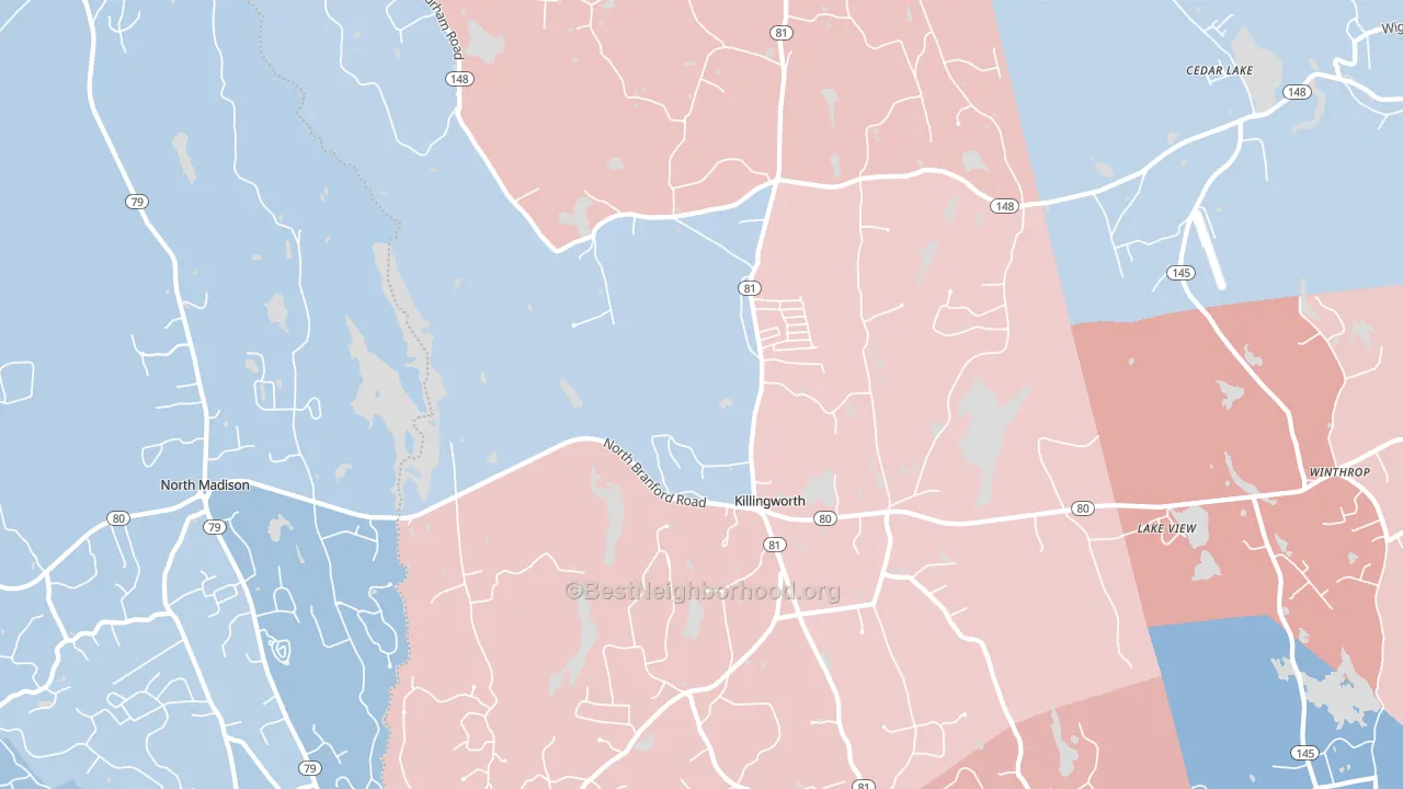
About 89% of adults in Killingworth typically vote, above the U.S. average of about 62%. Among adults in Killingworth, ~45% vote Democratic, ~45% Republican, and ~10% don't vote. The map below shows estimated turnout by block group.
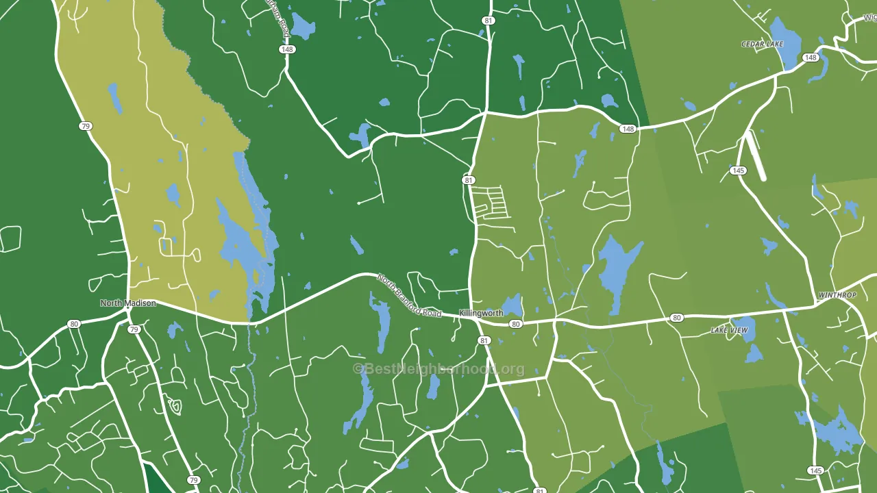
How Killingworth compares
Among cities within 25 miles, Killingworth sits roughly in the middle of the political spectrum, with 41 neighbors leaning further in the place's direction and 62 leaning the other way.
Killingworth runs about 14 points more Republican than Connecticut as a whole.
Why Killingworth leans the way it does
Density, race composition, education, and family structure all sit close to their national averages in Killingworth. None of them point strongly toward either party.
Walkability and Democratic lean
Places with a highly walkable street grid tend to lean Democratic; Killingworth, CT sits in the top quarter nationally on this measure. A walkable street grid does not change how people vote; it mostly reflects how urban a place is.
Why turnout in Killingworth looks the way it does
Areas with strong routine healthcare access turn out at higher rates. Killingworth is in the top quarter nationally for routine-care measures such as insurance coverage, preventive screenings, and dental visits. The dental-visit rate here is about 81%, about 21 points above the U.S. average of 60%. Homeowners vote more often than renters, and about 97% of households in Killingworth own their home, about 22 points above the U.S. average of 75%. High high-school completion lines up with higher turnout, and about 98% of adults in Killingworth have completed high school, above 96% of cities. Learn more about the findings and methodology on the political spectrum map.
Nearby Cities
- Winthrop, CT D+3
- Little City, CT D+2
- Madison, CT D+12
- Ponset, CT R+9
- Clinton, CT Even
- Chester, CT D+11
- Deep River, CT D+4
- North Guilford, CT R+6
- Higganum, CT R+7
- Ivoryton, CT D+12
Cities with Similar Populations
- Ely, NV R+60
- Four Corners, MT R+14
- Chilton, WI R+38
- Rowley, MA D+10
- Bellevue, KY Even
- Glen Rose, TX R+66
- North Fond du Lac, WI R+19
- Reinholds, PA R+41
- Barboursville, VA R+14
- Bay Harbor Islands, FL R+15
Sources and methodology
Precinct-level voting records used to fit the model come from the election offices of 44 states and the District of Columbia, distributed by the Voting and Election Science Team; none come from Connecticut. Demographic inputs come from the U.S. Census Bureau (ACS 5-year estimates and the 2020 Decennial Census). Health and environmental inputs come from the CDC (PLACES and the Environmental Justice Index). Land cover comes from the USGS and EPA. Election-day and lead-up weather come from PRISM 4km daily grids and the NOAA Global Historical Climatology Network. Mail-voting and election-administration patterns come from the MIT Election Lab's Survey of the Performance of American Elections. Block-group crime detail comes from CrimeGrade. Internet data and modeling support provided by ISPreports.org.
Modeling and analysis by the BestNeighborhood data science team. Connecticut did not have precinct-level voting records available for training, so the figures here come from extrapolation across demographic, health, and land-use features rather than local ground truth. Full methodology and findings: political spectrum map.
Methodology reviewed by the BestNeighborhood data science team. Last updated November 2026.